Over 25 Years of supplying dredging and surveying software.

Tower designs and manufactures a range of dredger, excavator, and crane sensors rated up to 30 metre water depth
Tower supplies both Single beam and Multi beam systems for Hydrographic Surveying.
This Hardware ties directly into Beamworx Navigation and Dredging Software for a seamless, all-in-one solution.
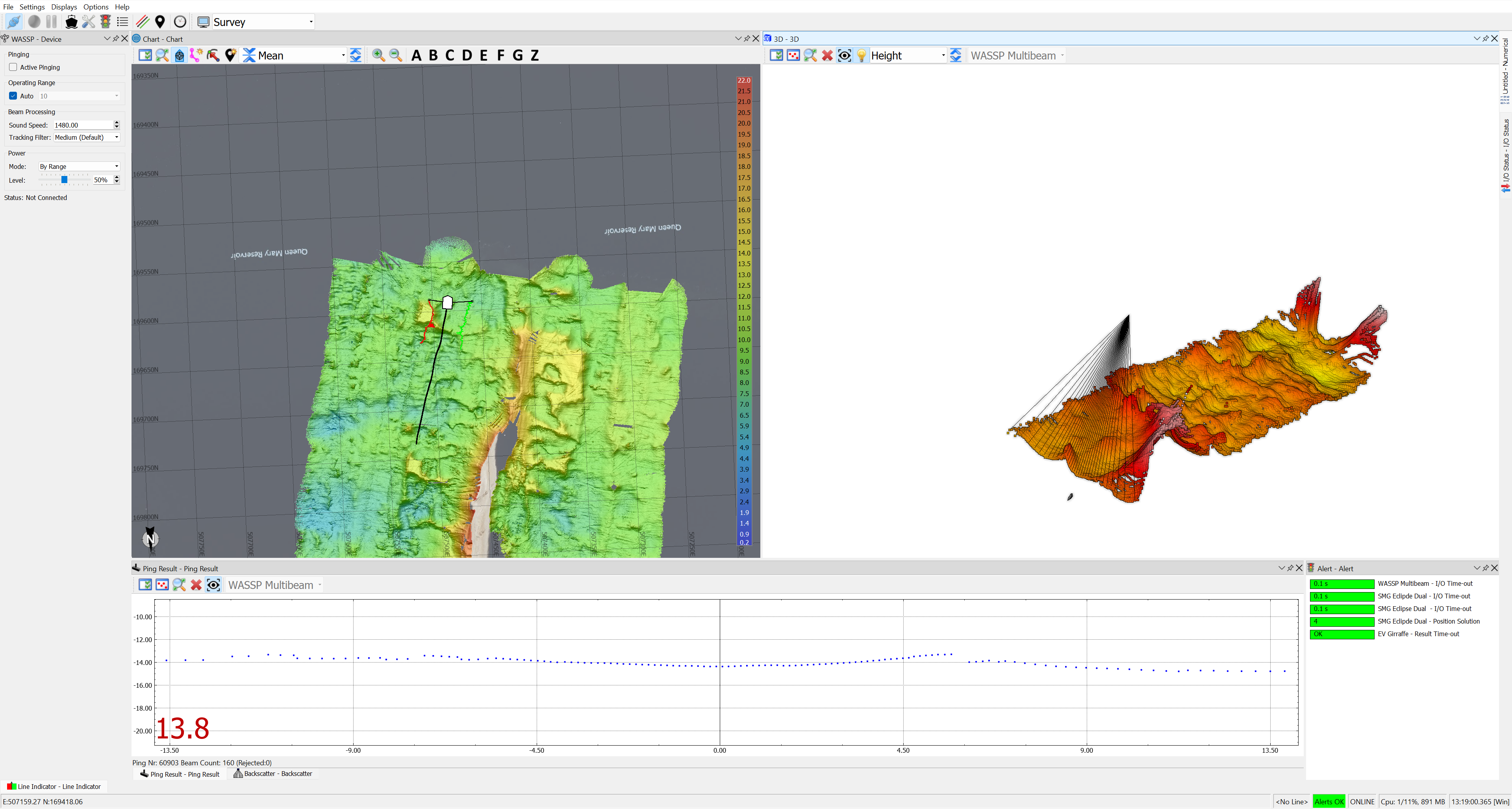
Multibeam surveys provide high-resolution bathymetric maps of the seafloor. The technology allows for the collection of detailed data points, resulting in accurate representations of underwater topography.
Multibeam systems can cover a wide swath of the seafloor in a single pass, making surveys more efficient compared to traditional single-beam systems. This efficiency is especially crucial for large-scale mapping projects.
The use of multiple beams simultaneously enhances the accuracy of depth measurements. This helps in producing more reliable and precise bathymetric data, which is essential for various marine applications.
Multibeam surveys generate a dense point cloud of bathymetric data, providing a more comprehensive understanding of the underwater terrain. This increased data density is valuable for detailed analysis and interpretation.
Multibeam sonar can be used to characterize the seafloor beyond simple depth measurements. It can provide information on the composition of the substrate, helping researchers and scientists understand the nature of the seafloor in terms of sediment type, geological features, and habitat.
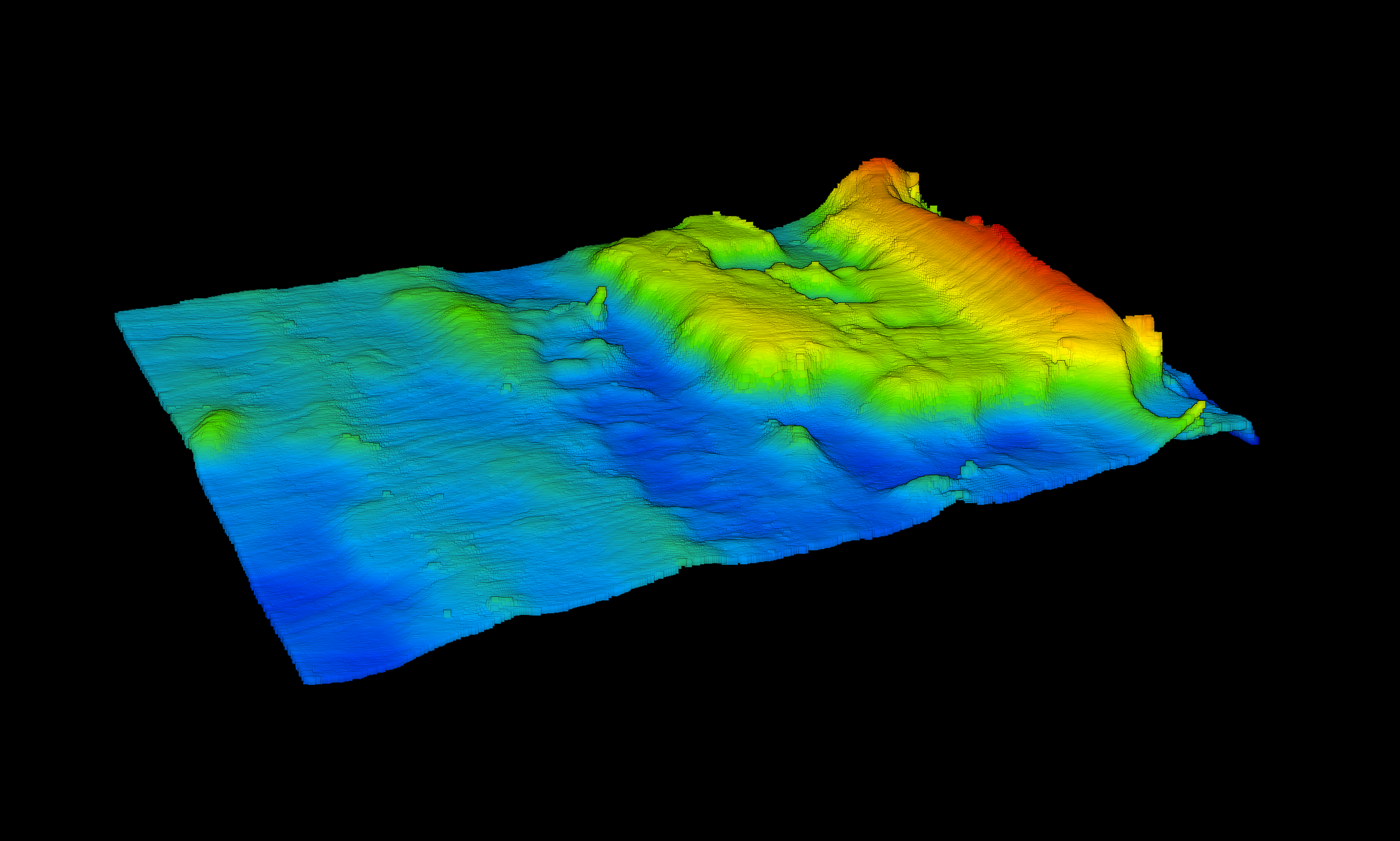
Multibeam data can be used to create three-dimensional (3D) visualizations of the seafloor. This allows for a more intuitive interpretation of underwater landscapes and facilitates better communication of findings to a broader audience.
Accurate bathymetric data from multibeam surveys is crucial for safe navigation, particularly in areas with complex underwater topography. Nautical charts derived from multibeam data help mariners avoid potential hazards and navigate more safely.
Multibeam surveys support environmental monitoring efforts by providing baseline data for assessing changes in the seafloor over time. This is particularly important for understanding the impact of natural events, human activities, and climate change on underwater ecosystems.
Multibeam surveys contribute significantly to scientific research in marine geology, biology, and oceanography. Researchers can use the collected data to study underwater geological processes, habitat distribution, and biodiversity.
In addition to scientific research, multibeam surveys are essential for locating and assessing underwater resources such as minerals, oil, and gas. The detailed mapping of the seafloor aids in identifying potential resource-rich areas.
Tower was founded in 1984 to provide custom built software to the Hydrographic Surveying Industry.
We supply complete survey hardware for all types of dredgers as well as many other types of systems.
We can supply GPS equipment, echo sounders, computers, etc, as well as custom made and manufactured marine sensors (tide gauges, draft sensors, angle sensors, winch monitoring systems). Also available is a wide range of telemetry equipment, for remote data transmission and remote monitoring, with worldwide reach.
We also supply personnel and training, for both Tower products and for the third party applications.